Finally Maryland has an official off-road centric State Park!! For the last few years the Maryland Off Highway Vehicle Alliance has been spearheading the effort to get new off-road centric recreational space opened in Maryland. With the lessons learned from opening St. John’s Rock they pursued a second park, and it just opened a few weeks ago.
The new park is called the Huckleberry Rocks Area of Wolf Den Run State Park. It’s the first of three parcels of land purchased for OHV recreation in the area. It’s open to all major forms of motorized recreation as well as various non-motorized uses. Cherie and I got a unique opportunity to check it out last fall (see that sneak peek here) but now it’s open to the public!
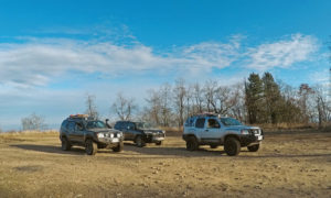
Our local club decided to check it out. We stayed at nearby Potomac State Forest since the campground area of Wolf Den Run is not developed or open yet. Our friend Kirk booked a group site and so we all met up there Friday night. Saturday morning we made the short drive over to the new park and met up with our last participants, James, Adam, and his son.
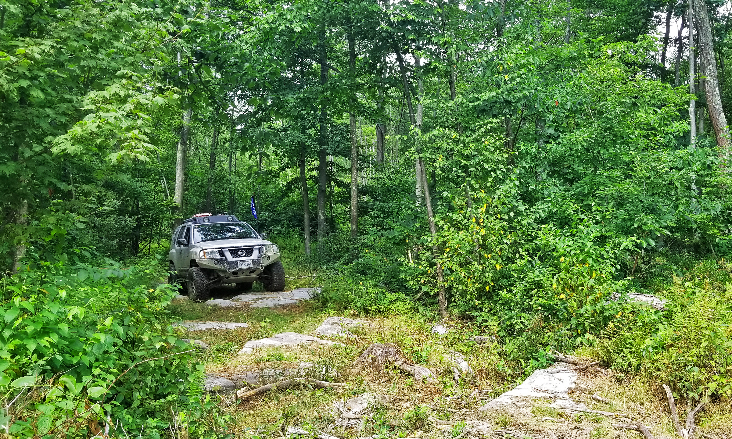
After discussing with the ranger what was open and checking to see if there were any other rules we should know about we set off. Our goal was to for sure try all the full-size blue trails, and the greens if we had time. We weren’t sure if we’d find really tight trails and/or especially challenging terrain, so we were open to the possibility that we might have to turn around.
To our surprise the whole park didn’t take long to cover at all! Sticking to full-size only routes we were able to cover all the trails, which even required doing some more than once, in a little over three and a half hours driving. We did stop for a long lunch mid-day, but found ourselves done exploring around 3pm.
Overall the park was mostly very stock vehicle friendly. We found areas where pinstriping could be an issue, and there were some areas where you wanted more that stock ground clearance and/or wheel travel, but overall the park was fairly tame. We marked some areas on the northeast section where there were some picnic tables, a good place for lunch in the future.
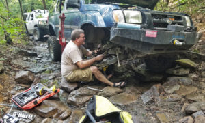
We did have one issue with trail damage. James at one point pulled off the trail toward a big pile of brush to make way for a group of dirt bike riders coming the other way. Shortly after we realized that when he did that he apparently drive a large branch right into the front of his vehicle, through the grill, and radiator. Luckily it was the radiator for the air conditioning system, not for his engine cooling! After removing the branch we were on our way again.
When we were done exploring we headed out. Adam and his son headed to camp with the rest of us, James parted ways. Back at camp we had plenty of time to relax. Cherie found some time to setup our hammock and quickly found her eyelids heavy and took a nap. It was chilly that night in camp, but a nice relaxing evening just hanging out around the fire.
Sunday morning always comes too fast on trips like this. The highlight would be some big plump Monarch butterfly caterpillars enjoying the milkweed along the road near camp. But before we knew it it was time to pack up and head home. We all headed out by noon.
On our way home Cherie and I made a point to stop at Flying W Farms in West Virginia. They’re a local beef farm and they have a restaurant too. Something about their food just hits the spot. We stopped in for lunch and also grabbed about $80 worth of meat to take back home, some to share with friends. Lucky for us we had a cooler in the back that was now much emptier than when our journey began! That would be our last stop on our otherwise uneventful drive home through the picturesque rural West Virginia.
